

Geospatial Sciences (Geographic Information Science and Computing) MSc
At UCL (University College London)

地点
United Kingdom
资格
MSc - Master of Science
费用
GBP42700
(2026)
时长
1 Year(s)
下个学年
28.09.2026
入学成绩
6.5
IELTS考试COURSE_INFO
- 奖学金 查看所有奖学金
- 实习
入学要求 UCL (University College London)
申请截止日期
26/06/2026
Further information
If you aren't eligible for the above entry requirements, you might have a chance to explore pathway options at UCL (University College London). If you want to find out more, speak to our counsellors.
Chat to a student ambassador
Speak to IDP ambassadors today!

Dima Tokarenko

Aastha Paudel

Geraldine Penarete Vaquiro

Yumi Wan
Your study abroad community
Discover genuine experiences and practical tips from IDP student ambassadors and peers worldwide.

推荐给你
- 泰晤士高等教育世界大学排名 (THE):22
- Postgraduate
- London , United Kingdom
- 下个学年:28.09.2026
- 入学成绩: IELTS考试 7.5
- GBP35400 (2026)
- 泰晤士高等教育世界大学排名 (THE):22
- Postgraduate
- London , United Kingdom
- 下个学年:28.09.2026
- 入学成绩: IELTS考试 7
- GBP35400 (2026)
- 泰晤士高等教育世界大学排名 (THE):38
- Postgraduate
- London , United Kingdom
- 下个学年:28.09.2026
- 入学成绩: IELTS考试 7
- GBP33850 (2026)
- 泰晤士高等教育世界大学排名 (THE):29
- Postgraduate
- Edinburgh , United Kingdom
- 下个学年:14.09.2026
- 入学成绩: IELTS考试 7
- GBP37800 (2026)
At London School of Economics and Political Science, University of London
- 泰晤士高等教育世界大学排名 (THE):52
- Postgraduate
- London , United Kingdom
- 下个学年:28.09.2026
- 入学成绩: IELTS考试 7
- GBP30400 (2026)
- 泰晤士高等教育世界大学排名 (THE):301
- Postgraduate
- Swansea , United Kingdom
- 下个学年:21.09.2026
- 入学成绩: IELTS考试 6.5
- GBP24300 (2026)
- 泰晤士高等教育世界大学排名 (THE):301
- Postgraduate
- London , United Kingdom
- 下个学年:05.10.2026
- 入学成绩: IELTS考试 6.5
- GBP14820 (2026)
- 泰晤士高等教育世界大学排名 (THE):170
- Postgraduate
- Exeter , United Kingdom
- 下个学年:21.09.2026
- 入学成绩: IELTS考试 6.5
- GBP29800 (2026)
- 泰晤士高等教育世界大学排名 (THE):56
- Postgraduate
- Manchester , United Kingdom
- 下个学年:14.09.2026
- 入学成绩: IELTS考试 6.5
- GBP33600 (2026)
- 泰晤士高等教育世界大学排名 (THE):301
- Postgraduate
- London , United Kingdom
- 下个学年:05.10.2026
- 入学成绩: IELTS考试 6.5
- GBP22230 (2026)
Your action plan
步骤 1
Shortlist your courses
Choose the best three courses you’re most likely to pursue.
步骤 2
Check your eligibility
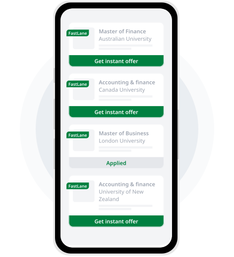
Get an instant in-principle offer for courses with the IDP FastLane tag.
步骤 3
Apply through IDP Live
Fill out the form once and use it to apply to multiple courses.
IDP FastLane 如何运作?
通过FastLane的「原则性录取通知」,你将在几分钟内知道自己是否获取录!
 1
1选择一个院校机构和课程
 2
2建立你的学术个人档案
 3
3提交你的《原则性录取通知》申请
 4
4你选择的机构将会在几分钟内发送结果!
 5
5与升学顾问一起准备申请